Cyclonic Storm Murasu has strengthened into a severe cyclonic storm over the Bay of Bengal and is expected to cross the south Andhra Pradesh coast late Monday night, with winds of 100 to 110 kmph and gusts up to 120 kmph, the India Meteorological Department said.
The storm was moving northwest at about 20 kmph over the past six hours. At 2:30 am IST on November 2, its centre sat near latitude 13.6 degrees North and longitude 82.5 degrees East. That places it roughly 260 km east-northeast of Chennai in Tamil Nadu, and about 470 km south of Visakhapatnam in Andhra Pradesh.
Closer to the Andhra coast, the storm was about 290 km east-southeast of Nellore, 320 km south-southeast of Machilipatnam, 310 km east-southeast of Kavali and 330 km southeast of Ongole. Those distances matter because they show how quickly the system is closing in on land.
The landfall window
The weather office expects the system to keep moving northwest and cross the coast between Nellore and Narsapur, close to Ongole. The window opens around 11:30 pm IST on Monday and runs until about 4 am IST on Tuesday, November 3.
That is a short, dangerous stretch of night. Most residents in the affected districts will be asleep when the strongest winds arrive, and that is exactly why officials are pushing warnings out now rather than later.
"It is very likely to continue to move northwestwards and cross south Andhra Pradesh coast as a Severe Cyclonic Storm with wind speed of 100 to 110 kmph gusting 120 kmph between Nellore and Narsapur close to Ongole during midnight (2330 Hrs IST) of 2nd to early hours (0400 Hrs IST) of 3rd November, 2026."
That single line from the official bulletin carries the core warning: a severe storm, a specific stretch of coast, and a narrow overnight window.
Andhra Pradesh in the line of fire
For Andhra Pradesh, the threat is not limited to the moment of landfall. The weather office has forecast heavy to very heavy rain for coastal Andhra Pradesh and Rayalaseema on November 2 and 3, with some places likely to see extremely heavy downpours.
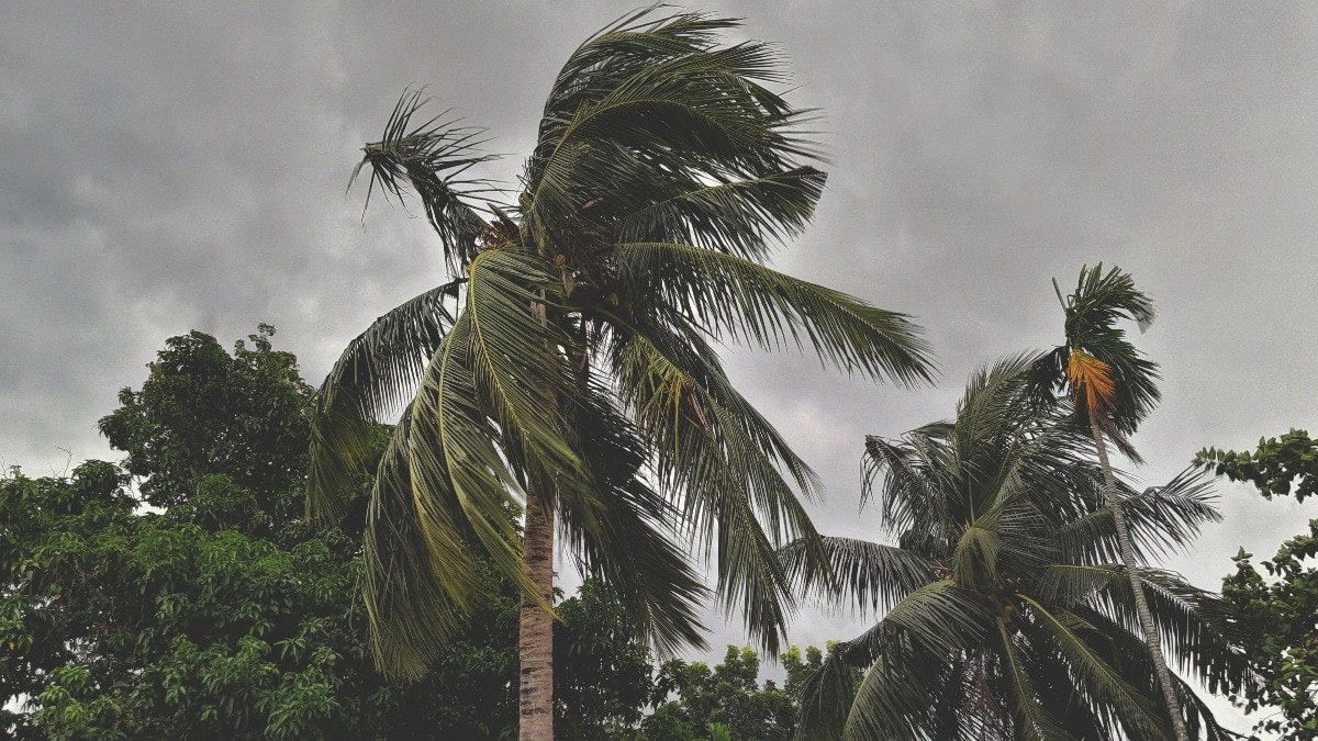
Strong winds bring their own dangers. Officials have warned of falling trees, snapped electricity lines and flooding in low-lying areas. Families living near canals, drains and riverbanks should treat rising water as an immediate risk, not a passing nuisance.
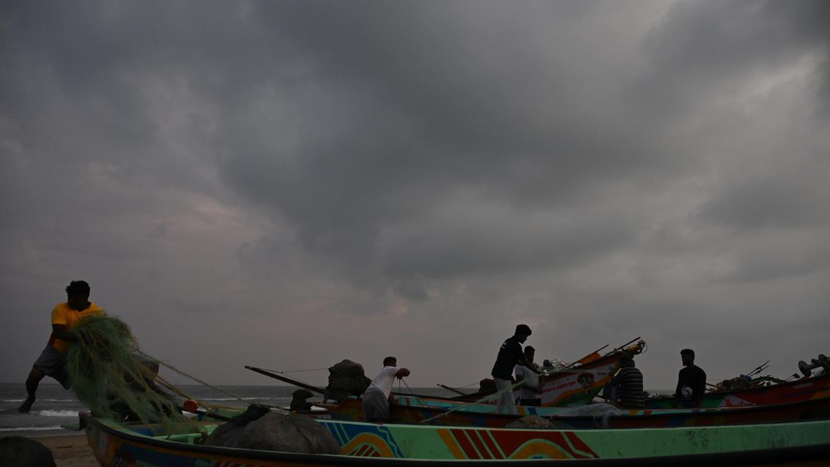
Fishermen have been told not to venture into the sea. For coastal communities that depend on daily catches, that instruction is a hard one to follow, but the storm’s speed and strength leave little margin for error. Local administrations have already begun rescue preparations.
Chennai shuts its schools
Across the Bay, Chennai has responded with a citywide step. All schools in the city have been declared closed for Monday because of Cyclone Murasu. The city sits about 260 km from the storm’s centre, yet the closure shows how far the system’s effects are expected to reach.
Northern parts of Tamil Nadu may also get moderate rain. Parents across the city will now be scrambling to plan for children at home, while authorities prepare for a day in which the storm’s influence is felt well beyond the coastline it will eventually strike.
What the storm means for the next 24 hours
The timeline is tight. A severe cyclonic storm moving at this pace can change its track or intensity, and forecasters continue to update their bulletins. The Indian Meteorological Department has indicated the system will move northwest, which keeps the focus firmly on the south Andhra coast.
The combination of wind, rain and low-lying flooding is what makes this event dangerous. Falling trees can block roads just as emergency crews need to move. Power cuts can leave homes without light or fans during heavy rain. Flood water can cut off low settlements before people have time to leave.
Anyone living in the forecast zone should secure loose outdoor items, keep phones charged, stay away from fallen wires and avoid travelling through waterlogged roads. Fishing boats should stay ashore. Those who need to move should do so before the storm reaches the coast, not during it.
For now, the message from officials is consistent. The storm is severe, the coast is in its path, and the hours before landfall are the time to prepare. Check official weather updates regularly and follow instructions from local administration without delay.
TL;DR
- Cyclonic Storm Murasu has intensified into a severe cyclonic storm over the Bay of Bengal.
- The IMD says it is likely to cross the south Andhra Pradesh coast between Nellore and Narsapur, near Ongole.
- Landfall window: about 11:30 pm IST Monday to 4 am IST Tuesday, November 3.
- Winds of 100 to 110 kmph are expected, with gusts up to 120 kmph.
- Heavy to very heavy rain is forecast for coastal Andhra Pradesh and Rayalaseema on November 2 and 3.
- All Chennai schools are closed on Monday, and fishermen have been told to stay out of the sea.