Cyclone Murasu has begun its landfall on the south Andhra Pradesh coast, the India Meteorological Department said early Tuesday, with the process starting around 1 a.m. Winds in the state are already blowing at 110 kilometres per hour and could strengthen to 120 km/h.
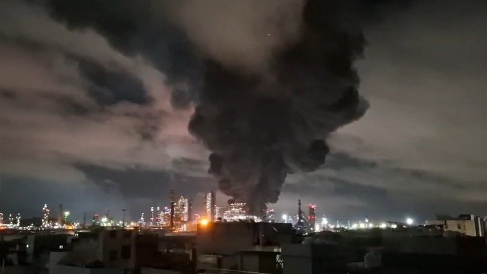
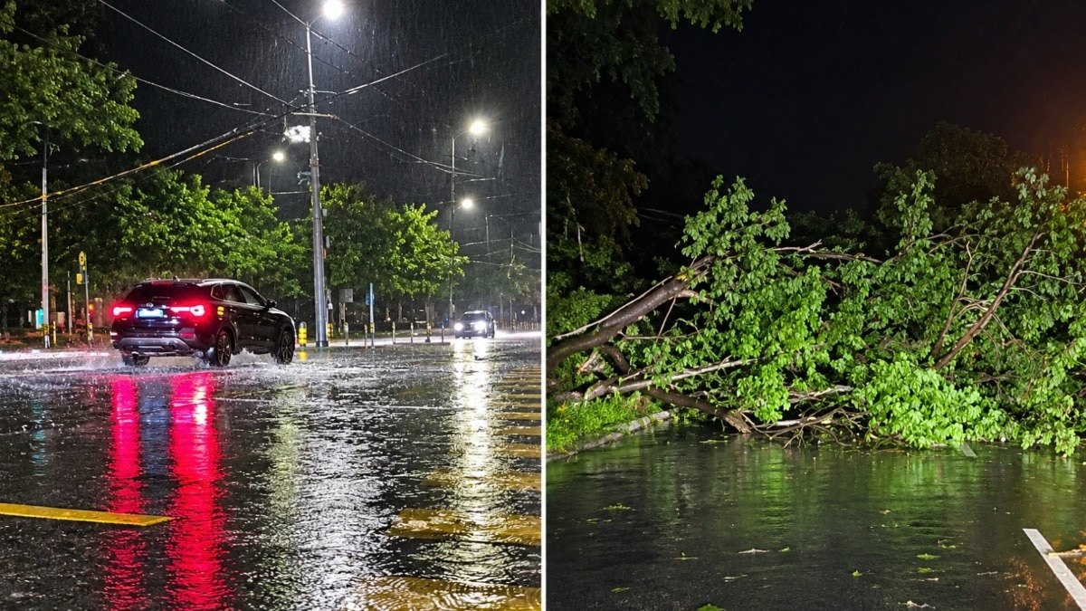
The storm is now bringing heavy rain and strong gusts to a wide stretch of the coast, and the damage is already visible on the ground. Several trees have been uprooted in Chirala after strong winds lashed the area, and residents are dealing with disrupted daily life.
Air travel has taken the first major hit. Eight IndiGo flights out of Vijayawada (VGA) were cancelled for November 3, 2026, after 10 services were scrapped earlier. That brings the total to 18 cancelled flights so far. Travellers planning trips through the Vijayawada airport should check with their airline before heading out.
Where the cyclone is centred
At 1:30 a.m., the cyclone was centred over the west-central Bay of Bengal close to the south Andhra Pradesh coast. Its position placed it roughly 40 km south-east of Ongole, 60 km north-east of Kavali and 70 km south of Bapatla.
Those positions matter because they show how close the system was to populated coastal towns during the hours when landfall was underway. Ongole, in particular, has been battered by the storm’s outer and inner bands, with heavy rain and very strong winds sweeping the coastal belt.
A short video from the scene shows the intensity on the ground. Visuals from Ongole capture rain sheeting across the streets as winds bend trees and push water across the roads.
Warnings for the next 12 hours
The IMD has forecast heavy rainfall over south coastal Andhra Pradesh for the next 12 hours. Sea conditions are also expected to worsen, with high waves likely to rise by 1 to 1.5 metres above normal by Tuesday morning.
Those waves could push water into low-lying coastal areas, which means waterlogging is a real risk. Roads, homes and farmland close to the shoreline could be the first to feel the impact.
The weather agency has said the districts most likely to bear the brunt are Bapatla, Krishna and Prakasam. These three districts sit along the path of the storm’s landfall and are the ones residents should watch most closely over the next half-day.
A second storm in a single week
Murasu is not arriving in a calm period. It follows Cyclone Arnab, which caused heavy damage in Andhra Pradesh and Odisha only days earlier. That back-to-back pattern has left coastal communities with little time to recover between alerts.
Officials have described Murasu as weaker than Arnab. That is a relief for many, but a weaker storm can still uproot trees, cut power, block roads and disrupt transport, as the first hours of landfall have already shown.
Arnab had already left a mark on both states, so the sense of urgency among residents is high. People in affected towns are watching the sky, the wind and the official bulletins closely.
Tamil Nadu and Puducherry also in the path
The effects of Murasu are not limited to Andhra Pradesh. Puducherry has been seeing the cyclone’s impact since midnight, with rain falling steadily through the night. Tamil Nadu is also under a spell of heavy rain as the system moves across the region.
The storm is expected to affect Andhra Pradesh, Telangana, Tamil Nadu and Odisha, which means the impact stretches across four states. For Telangana, the effect is expected to come through the broader weather system, and residents there should keep an eye on IMD updates.
Why the flight cancellations matter
Flight cancellations are often the first visible sign that a cyclone is disrupting daily life. In this case, 18 flights have been called off, including eight from Vijayawada on November 3. Passengers who were booked on those services will need to rebook or seek refunds through their airlines.
Airports in cyclone-hit regions usually scale back operations when winds rise and visibility drops. Anyone with a flight from Andhra Pradesh, Puducherry or Tamil Nadu in the next day should confirm their status before leaving for the airport.
The disruption also highlights a wider concern. When a storm strikes a coastline that has already absorbed one major cyclone, the cost is not only in damage. It is also in lost working days, stranded travellers and the strain on local services that have to respond to repeated alerts.
What comes next
The most dangerous hours are the ones where landfall is still in progress, and the IMD’s 12-hour warning sets the window for the most intense impact. Residents in Bapatla, Krishna and Prakasam should stay indoors where possible, avoid walking near the sea and keep phones charged in case of power cuts.
Authorities and weather agencies will continue issuing updates as the storm moves inland. Each new bulletin will show whether the wind speed holds at 110 km/h or climbs toward the 120 km/h that forecasters have flagged as possible.
For now, the story is clear. Cyclone Murasu has reached the Andhra Pradesh coast, trees are down, flights are cancelled and heavy rain is falling across the affected districts. The next few hours will decide how far the damage goes.
TL;DR
- Cyclone Murasu began landfall on the south Andhra Pradesh coast early Tuesday, with winds at 110 km/h.
- The IMD has warned of heavy rain over south coastal Andhra Pradesh for the next 12 hours.
- Sea waves are expected to rise 1 to 1.5 metres above normal, raising waterlogging risk in coastal areas.
- Bapatla, Krishna and Prakasam districts are likely to see the strongest impact.
- A total of 18 flights have been cancelled so far, including eight IndiGo services from Vijayawada on November 3.
- The cyclone follows Cyclone Arnab, which caused heavy damage in Andhra Pradesh and Odisha last week.