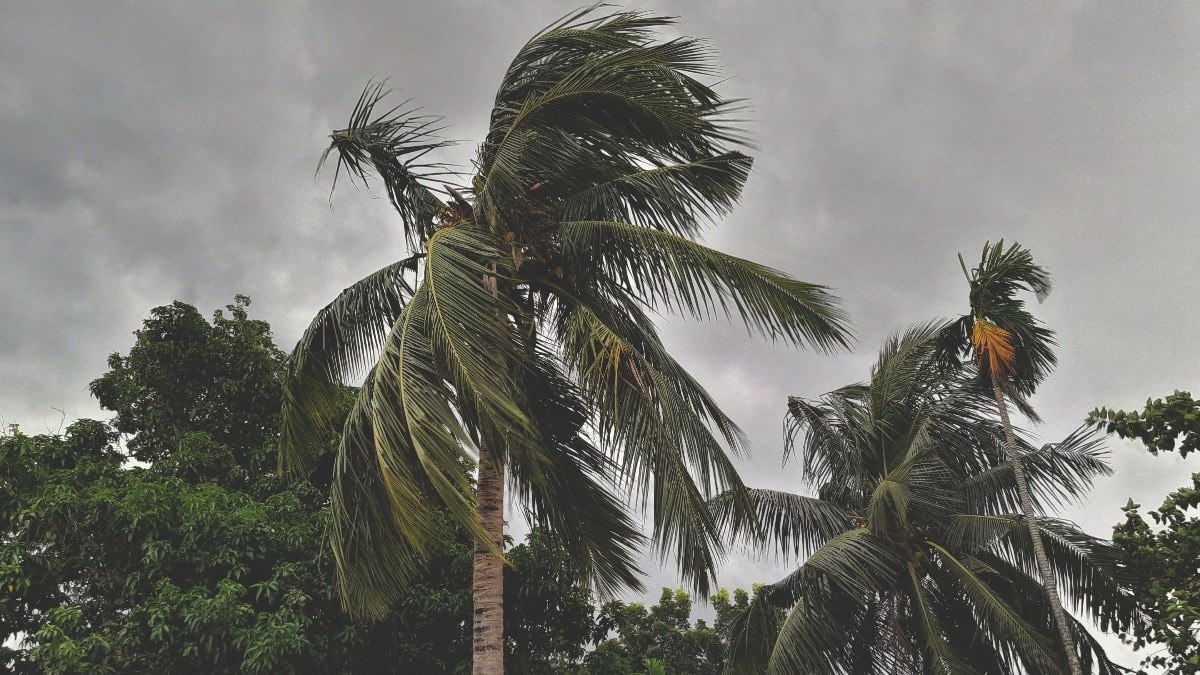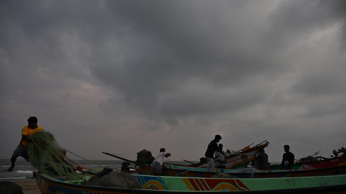
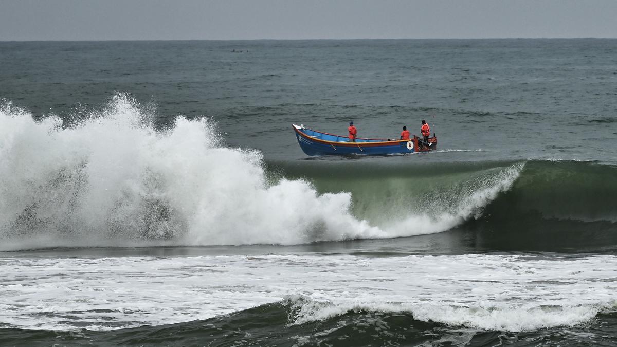
Cyclone Murasu intensified into a Severe Cyclonic Storm over the west central and southwest Bay of Bengal on November 2, 2026, and is forecast to cross the south Andhra Pradesh coast near Ongole during the night.
The India Meteorological Department said the system could continue moving northwestwards and cross between Nellore and Narsapur, close to Ongole, between 11:30 pm IST on November 2 and 4 am IST on November 3. Winds are expected to blow between 100 and 110 kmph, gusting to 120 kmph.
Where the storm stands right now
At 2:30 am IST on November 2, the storm was centred near latitude 13.6 degrees North and longitude 82.5 degrees East. That puts it about 260 km east-northeast of Chennai in Tamil Nadu, 290 km east-southeast of Nellore, 320 km south-southeast of Machilipatnam, 310 km east-southeast of Kavali and 330 km southeast of Ongole. It is also 470 km south of Visakhapatnam.
Over the past six hours before that update, the system moved nearly northwestwards at about 20 kmph. It strengthened from a cyclonic storm into a severe one while doing so.
A second storm in a few days
Murasu is not arriving in a quiet season. It comes just days after Cyclone Arnab hit the same Andhra Pradesh coast. That back-to-back pattern has put coastal districts on alert and kept forecasters busy tracking two systems in quick succession.
Tamil Nadu feels the rain first. The Chennai and Tiruvallur District Collectors announced that schools and colleges in both districts will remain closed on Monday, November 2, because of heavy rain. Chennai sits well to the north of the storm’s centre, but the outer bands are already bringing wet weather to the region.
What it means for Telangana
The storm’s impact is not limited to the coast. An orange alert has been announced for six Telangana districts, and a yellow alert covers five more for Monday. Orange alerts signal that authorities should be prepared for heavy rainfall, while yellow alerts call for watchfulness. For residents in those Telangana districts, the warnings are a reminder that a storm making landfall hundreds of kilometres away can still disrupt daily life inland.
So why do storms have names at all?
Here is the part most readers never think about. Every storm that makes headlines carries a name, and that name is not picked on a whim or by a weather station’s staff member on a slow afternoon.
According to the World Meteorological Organization, names are decided by the relevant tropical cyclone regional body during its annual or biennial session. There are five such bodies: the WMO Typhoon Committee, the WMO Panel on Tropical Cyclones, Regional Association I Tropical Cyclone Committee, Regional Association IV Hurricane Committee and Regional Association V Tropical Cyclone Committee.
These bodies maintain pre-designated lists of names. The method of using those lists varies by region. Some regions go alphabetically, while others use the alphabetical order of country names.
For the Bay of Bengal and the Arabian Sea, the job falls to the Regional Specialised Meteorological Centre New Delhi Tropical Cyclone Centre. It names a storm once that system has reached the relevant intensity.
The rules behind every name
Naming is not a free-for-all. The WMO lists several criteria a name must meet. It should be short in character length so it is easy to use in communication. It should be easy to pronounce. It should carry appropriate significance across different languages. And it must be unique, meaning the same name cannot be used again in other regions.
No tropical cyclone is named after an individual.
That single rule removes personal names from the picture entirely. The names instead come from a shared list, built with communication and safety in mind.
A rotating list of 13 countries
Cyclones forming in the Northern Indian Ocean are named in a cyclical fashion by thirteen countries. They are Bangladesh, India, Iran, Maldives, Myanmar, Oman, Pakistan, Qatar, Saudi Arabia, Sri Lanka, Thailand, the United Arab Emirates and Yemen. Each country contributes names in turn, which explains why a name like Murasu can appear in one season and another country’s choice can show up next.
The WMO’s list of the next ten cyclones after Murasu shows how the rotation works in practice. Akvan was given by Iran, Kaani by the Maldives, Ngamann by Myanmar, Sail by Oman, Sahab by Pakistan, Lulu by Qatar, Ghazeer by Saudi Arabia, Gigum by Sri Lanka, Thianyot by Thailand and Afoor by the United Arab Emirates.
How forecasters decide what counts as a cyclone
A name only comes into play once a system reaches a certain strength. The classification depends on maximum sustained wind speed.
A tropical depression has maximum sustained winds below 63 kmph. Once winds rise above 63 kmph, the system is called a tropical storm and is given a name. When winds exceed 116 kmph, the system is classified as a hurricane, typhoon, tropical cyclone or very severe cyclonic storm, depending on the basin where it forms.
Murasu sits in the severe cyclonic storm category, with forecast winds of 100 to 110 kmph gusting to 120 kmph at landfall. That places it in a band that demands close watch from coastal communities.
Why the stakes are high
The WMO ranks tropical cyclones as the second-most dangerous natural hazard, after earthquakes. That ranking explains the seriousness of the warnings now in place across Tamil Nadu, Andhra Pradesh and Telangana.
The science of naming may look like a bureaucratic detail. In practice, a short, easy-to-say name helps warnings travel quickly through news bulletins, mobile alerts and conversations between neighbours. It cuts confusion when multiple systems exist at once, which is exactly the situation the region faces after Arnab and Murasu.
Cyclones are also called hurricanes or typhoons depending on the region, and the underlying process is the same. A rapidly rotating storm begins over a tropical ocean and can vary in speed, size and intensity. Murasu’s path over the Bay of Bengal follows that pattern, and its landfall near Ongole will test how well coastal districts are prepared.
For now, the immediate focus is simple. The storm is expected to make landfall in the early hours of November 3, and residents in the affected areas are being told to stay alert as the system moves inland.
TL;DR
- Cyclone Murasu intensified into a Severe Cyclonic Storm over the Bay of Bengal on November 2, 2026.
- IMD expects landfall near Ongole, south Andhra Pradesh, between 11:30 pm and 4 am IST.
- Winds of 100 to 110 kmph are expected, gusting to 120 kmph.
- Chennai and Tiruvallur have closed schools and colleges on Monday due to heavy rain.
- Telangana has an orange alert in six districts and a yellow alert in five.
- Only five regional bodies choose names, and no cyclone is named after a person.