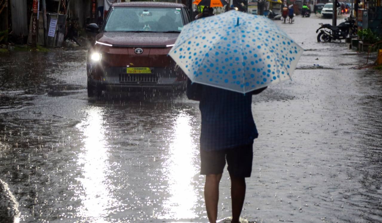
The India Meteorological Department has issued heavy-to-very-heavy rainfall alerts for several Telangana districts as the severe cyclonic storm Murasu closes in on the south Andhra Pradesh coast. Nalgonda and Nagarkurnool are likely to receive extremely heavy rainfall on Wednesday.
The IMD Hyderabad office placed a long list of districts on high alert on Monday. The warnings arrive as the storm’s core is expected to make landfall on the Andhra Pradesh coast, but the storm’s reach extends well beyond that stretch of shoreline.
While the core of the storm is expected to hit Andhra Pradesh, its wide reach is expected to bring rain and thunderstorms to multiple districts in Telangana.
Where the worst is expected
For Wednesday, the weather department has warned of heavy-to-very-heavy rainfall, with isolated extremely heavy rainfall very likely in Nalgonda and Nagarkurnool. Those two districts sit at the top of the alert list, and residents there should expect the most intense downpours in the state’s forecast.
Suryapet, Mahabubnagar and Wanaparthy have been flagged for heavy-to-very-heavy rainfall at isolated places. The IMD has also warned of lightning and gusty winds of 50–60 kmph across these districts, a combination that can bring fallen branches, waterlogged roads and sudden disruptions to travel.
Heavy rain across a wide belt
Heavy rain is likely at isolated places in Mulugu, Bhadradri Kothagudem, Khammam, Mahabubabad, Warangal, Hanumakonda, Jangaon, Yadadri Bhuvanagiri, Rangareddy, Vikarabad, Narayanpet and Jogulamba Gadwal. The list covers the Khammam and Warangal belt, the central districts and parts of the south, and it stretches from the Godavari-side forests to the Hyderabad outskirts.
Several of these districts were also named in the Monday warnings for heavy downpours. That overlap matters. When the same districts appear in consecutive advisories, the ground has less time to drain and small streams, low-lying roads and underpasses become more vulnerable.
Why the Andhra Pradesh coast matters to Telangana
Murasu is a severe cyclonic storm, and its landfall on the south Andhra Pradesh coast is the reason the alerts reach so far inland. Storm systems do not stop at state borders. The moisture they carry is pulled across the region, and the rain bands spread into neighbouring states long before the centre of the system comes ashore.
That is why a storm that is officially aimed at Andhra Pradesh is shaping the weather calendar in Telangana. The IMD Hyderabad office is responsible for the Telangana forecast, and its warnings are being issued with the storm’s movement in mind.
What the IMD says comes next
According to IMD Hyderabad, the intensity of the weather is expected to increase further during the subsequent 24-hour period. That is the sentence that should guide decisions tonight. Forecasts can shift, but the direction of travel is clear: conditions are getting worse, not better.
Residents in the listed districts should keep phones charged, follow official district advisories and avoid crossing flooded roads or culverts. Parents should keep children indoors where possible, and drivers should slow down in heavy rain, especially on highways and unlit stretches.
The bottom line for readers
The alert is not a routine monsoon update. It names specific districts, specific risk levels and a specific day. Nalgonda and Nagarkurnool face the highest forecast risk for extremely heavy rain on Wednesday. Suryapet, Mahabubnagar and Wanaparthy face heavy-to-very-heavy rain at isolated places. A long list of other districts face heavy rain, lightning and gusty winds.
If you live in or travel through any of the districts named above, check the latest IMD Hyderabad bulletin and your local administration’s guidance before you leave home. The storm’s core is aimed at the Andhra Pradesh coast, but the rain it brings is already reaching Telangana, and the forecast says it is about to get heavier.
TL;DR
- IMD Hyderabad has issued heavy-to-very-heavy rainfall alerts across several Telangana districts as Cyclone Murasu approaches the south Andhra Pradesh coast.
- Nalgonda and Nagarkurnool are likely to receive extremely heavy rainfall on Wednesday, according to the weather department.
- Suryapet, Mahabubnagar and Wanaparthy face heavy-to-very-heavy rain at isolated places, along with lightning and gusty winds of 50–60 kmph.
- Heavy rain is likely at isolated places in more than a dozen other Telangana districts, including Khammam, Warangal and Rangareddy.
- IMD Hyderabad says the intensity of the weather is expected to increase further in the next 24 hours.
- Residents should follow district-level advisories and avoid crossing flooded roads and culverts.