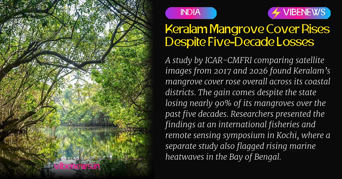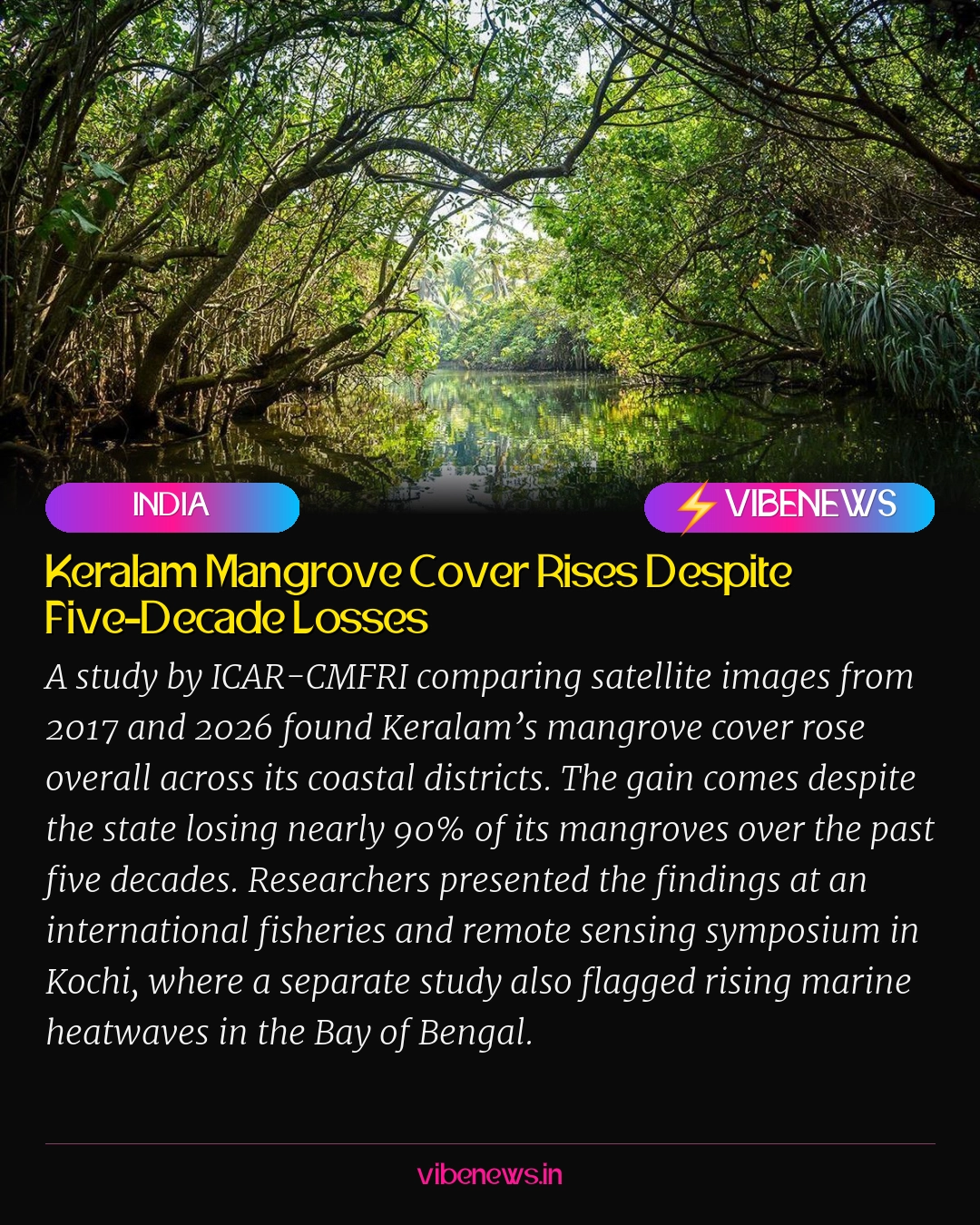
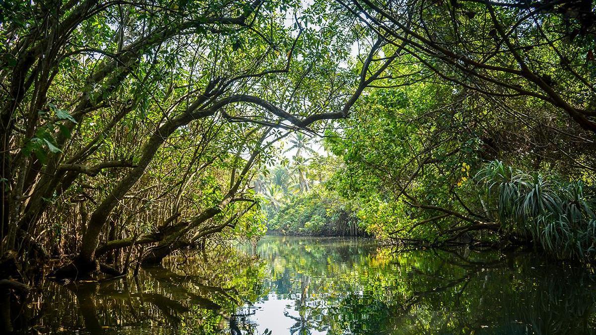
Mangrove cover in Keralam rose over the past decade, according to a new study by ICAR-Central Marine Fisheries Research Institute (CMFRI). For a coastline that has lost ground for half a century, that is a rare piece of good news.
The research compared satellite images from 2017 and 2026 to map changes in mangrove vegetation across the state’s coastal districts. It found an overall rise in cover during that period. The result stands out because Keralam has lost nearly 90% of its mangroves over the past five decades, according to a statement issued by CMFRI in Kochi.
Mangroves are more than scenery along the shore. They act as breeding and nursery grounds for fish, and they guard coastlines against cyclones and storm surges. They also help absorb atmospheric carbon, which gives them a role in the wider effort to slow climate change. When a mangrove patch comes back, the benefits reach fishing communities, coastal homes and the air above the sea.
Mangroves serve as vital breeding and nursery grounds for fish, protect coastlines from cyclones and storm surges, and help absorb atmospheric carbon.
That is why the study’s method matters as much as its result. Satellite-based monitoring lets researchers track vegetation across large stretches of coast without relying only on ground surveys. The findings, as presented, highlight the potential of this approach to follow mangrove recovery over time and to support conservation work along Keralam’s coast.
The study was presented at a three-day international symposium on fisheries and remote sensing hosted at CMFRI in Kochi. The event is being jointly organised by the Trevor Platt Science Foundation, the Department of Chemical Oceanography of the Cochin University of Science and Technology (CUSAT), CMFRI and the Marine Biological Association of India. Bringing those institutions into one room gives the mangrove findings a wider audience of scientists working on the same coastal questions.
Warmer seas raise the stakes
The symposium also heard a warning from the Bay of Bengal. Another study, presented by the Department of Oceanography of Shahjalal University of Science and Technology in Bangladesh, highlighted a rising number of marine heatwaves in the region. The Bay of Bengal experienced more than 100 marine heatwave events between 1982 and 2023. Both their frequency and their cumulative intensity show an increasing trend.
Read side by side, the two studies tell a layered story. Mangroves are being measured as a recovering shield for coastlines. Meanwhile, the sea around the region is growing hotter in episodes that can be intense and frequent. Healthy coastal vegetation and warmer water are not the same problem, but both sit within the same conversation about how coastal ecosystems cope with change.
Why the recovery story travels
For readers in the United States, the United Kingdom and Australia who follow coastal restoration, the Keralam case offers a useful example. It shows that a coastline that lost most of its mangroves over five decades can still record a net increase in cover within a recent window. It also shows that the tools to check that progress are increasingly available from orbit.
The lesson is not that the damage is undone. The study itself frames the rise against a steep long-term loss, and that context matters. What the findings do show is that recovery can be measured, and what can be measured can be tracked, protected and built on. For conservation groups, coastal managers and researchers, that is a practical foundation.
The mangrove study also connects to the fisheries focus of the symposium. Mangroves serve as breeding and nursery grounds for fish, so changes in their cover can matter to the people and species that depend on the sea. Tracking that cover from satellite images gives scientists a way to link coastal habitat to the wider marine systems they study.
The Bay of Bengal heatwave research adds urgency to the picture. Marine heatwaves that grow more frequent and more intense pose questions for marine life and the coastal systems around it. Presenting both studies at the same symposium gave researchers a chance to look at coastal and marine change together rather than in isolation.
Taken together, the day’s findings carry a clear message of cautious optimism. A state that lost nearly 90% of its mangroves has recorded an overall rise in cover over the past decade. The tools to monitor that recovery are improving, and the institutions working on it are gathering in Kochi to compare notes. The next step is to keep the satellite record running and to use it to guide the conservation work that the study says can follow.
TL;DR
- Mangrove cover in Keralam registered an overall increase over the past decade, according to a new ICAR-CMFRI study.
- The study compared satellite images from 2017 and 2026 across the state’s coastal districts.
- Keralam had lost nearly 90% of its mangroves over the past five decades.
- The findings were presented at a three-day international symposium hosted at CMFRI in Kochi.
- A separate study recorded more than 100 marine heatwave events in the Bay of Bengal between 1982 and 2023.