The Himalayan Seismic Reality
The Himalayas, a geologically young and highly active mountain range, frequently demonstrate their immense power. A recent catastrophe on the Nepal-Tibet border, involving an earthquake-triggered avalanche and subsequent floods, claimed over 100 lives and left hundreds missing, including many Kailash Mansarovar pilgrims. This devastating event has intensified warnings from experts regarding a colossal dam China is constructing perilously close to the Indian border.
Initial reports from Nepal’s Foreign Minister Shisir Khanal suggested an earthquake might have triggered the avalanche and floods in the Bhote Koshi and Trishuli river systems. However, the US Geological Survey later clarified that the seismic activity was likely a glacial collapse and debris flow, leading to catastrophic downstream impacts. Regardless of the precise trigger, the incident underscores the inherent instability of the Himalayan region.
China’s Ambitious Hydropower Project
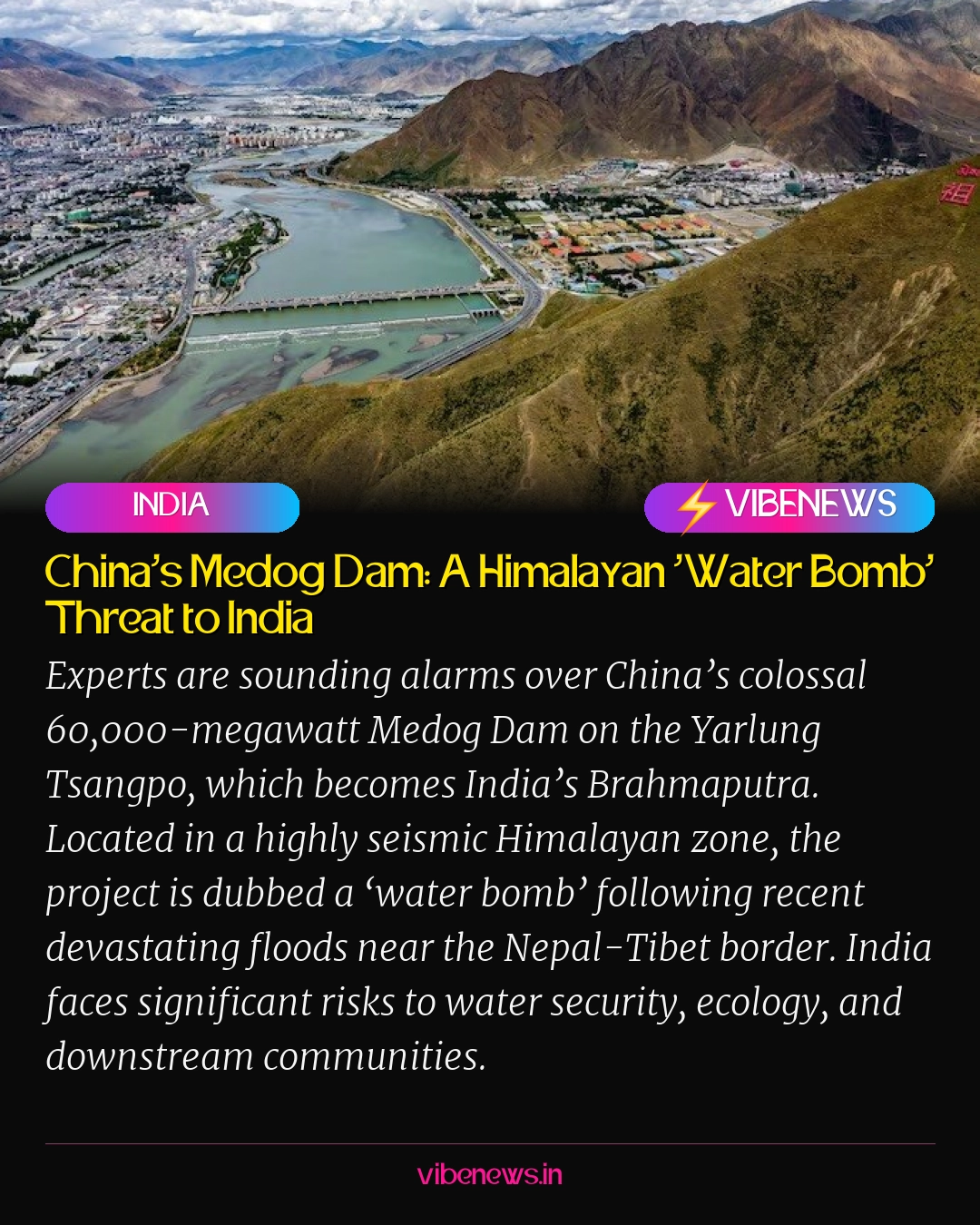
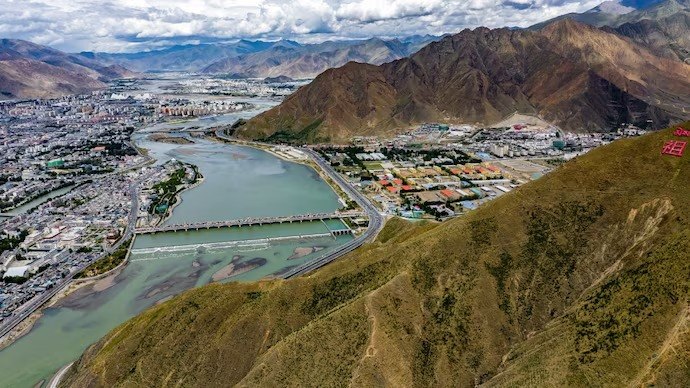
At the heart of these concerns is the 60,000-megawatt (MW) Medog Dam, also known as the Motuo Hydropower Station, which China is building on the Yarlung Tsangpo river in Tibet. This river transforms into the Siang in Arunachal Pradesh before becoming the mighty Brahmaputra as it flows through Assam and into Bangladesh. Beijing aims to operationalize this mega-project by 2033.
The dam’s location in Medog, within the China-occupied Tibet Autonomous Region, is particularly alarming. This area is notorious for its seismic activity. A study by geologists affiliated with China’s state-run geological survey in July confirmed that the under-construction Medog Hydropower Station sits directly atop an active fault line, the Paizhen Fault. This finding has led experts to label the massive dam a potential "water bomb."
Downstream Vulnerabilities in India
The sheer scale of the Medog Dam, estimated to cost around $167 billion, is unprecedented. Once completed, it is projected to surpass China’s Three Gorges Dam as the world’s largest hydroelectric project, capable of generating roughly three times as much electricity. This immense capacity, coupled with its location in a highly sensitive zone, raises profound concerns for India.
Strategic experts like Brahma Chellaney have warned that the project could "drown India’s northeast and wreak havoc farther downstream in Bangladesh." Former Indian ambassador Rajiv Dogra echoed these sentiments, cautioning against a "much bigger devastation" for India’s northeast. The primary fear is not necessarily a deliberate cutoff of water but rather the potential for sudden, uncontrolled releases during heavy rainfall, leading to severe flooding, or prolonged reductions during dry seasons, impacting agriculture and communities.
The Yarlung Tsangpo’s dramatic U-turn around Mount Namcha Barwa, where the river descends sharply through a deep canyon, offers immense hydropower potential. China plans to develop five cascading hydropower stations in this region, further amplifying the downstream risks. Arunachal Pradesh Chief Minister Pema Khandu has previously described the project as an existential concern for tribal communities along the Siang, highlighting the potential for catastrophic impacts from upstream reservoir releases.
A Call for Transparency and Data Sharing
India’s strategic concerns extend beyond immediate flood risks to the geopolitical leverage such a mega-dam could afford Beijing over a transboundary river. While the Brahmaputra receives most of its water from monsoon-fed tributaries within India, China’s control over the upper riparian stretches grants it significant influence over water flows. The absence of a comprehensive water-sharing treaty between India and China, which would mandate real-time hydrological data exchange, exacerbates these anxieties.
The recent Nepal disaster highlighted this lack of transparency, with Kathmandu-based journalist Parshuram Kaphle lamenting Beijing’s failure to provide early warnings. This lack of communication led to immense loss of life and property. US-based Tibetan lawyer Tenzin Tsering commented that Nepal would likely not hold China accountable, suggesting a similar dynamic could play out with India regarding the Medog Dam.
In response to these upstream developments, India is advancing its own large-scale projects, such as the 11,000 MW Siang Upper Multipurpose Project in Arunachal Pradesh. This initiative aims to counter potential flow fluctuations and assert some control over the river system within Indian territory. However, India’s limited control over developments on the Tibetan side underscores the critical need for robust information-sharing mechanisms and international cooperation.
Editorial Context: A Geopolitical and Environmental Imperative
The construction of China’s Medog Dam represents a long-term geopolitical and environmental challenge for the entire South Asian region. The project’s location in one of the world’s most seismically active zones, coupled with its unprecedented scale, introduces an unacceptable level of risk to millions living downstream in India and Bangladesh. The recent devastation in Nepal serves as a stark reminder of the catastrophic potential when natural hazards intersect with large-scale infrastructure in vulnerable regions.
Beyond the immediate threats of flooding and water scarcity, the dam raises fundamental questions about transboundary water governance, regional stability, and environmental justice. The opacity surrounding the project and the absence of a binding water-sharing agreement between India and China create a volatile situation. For Vibe News, this development is not merely an engineering feat but a critical issue demanding sustained attention, advocating for greater transparency, international dialogue, and robust disaster preparedness strategies to safeguard the lives and livelihoods of downstream communities.
TL;DR
- China is constructing the 60,000-megawatt Medog Dam on the Yarlung Tsangpo river in Tibet, which flows into India as the Brahmaputra.
- The dam is located in a highly seismic zone, with a recent study confirming it sits atop an active fault line, leading experts to call it a ‘water bomb’.
- Recent floods near the Nepal-Tibet border, triggered by an avalanche/glacial collapse, have intensified warnings about the Medog Dam’s potential for disaster.
- India faces significant risks including increased flooding, water scarcity for agriculture, and ecological disruption in Arunachal Pradesh and Assam.
- Concerns are heightened by the lack of a comprehensive water-sharing treaty and transparency from China regarding hydrological data.
- India is developing its own projects, like the Siang Upper Multipurpose Project, to mitigate potential impacts from upstream Chinese dams.