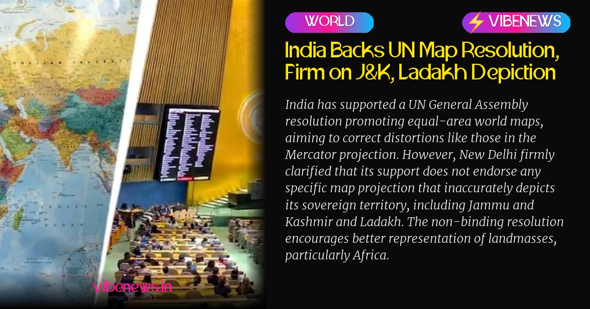
India on Sunday voted in favour of a United Nations (UN) General Assembly resolution that encourages the use of equal-area world maps. This resolution, titled “Correct the Map: Rebalancing Global Cartographic Representation and Promoting Equitable Representation of the World’s Regions, Particularly Africa,” was adopted on September 4 and aims to preserve the relative sizes of continental landmasses.
However, India’s Ministry of External Affairs (MEA) spokesperson Randhir Jaiswal clarified that while India supported the principle of promoting equal-area cartographic representation, its vote does not endorse any specific map projection or depiction of national boundaries. Jaiswal emphasized that the resolution neither adopts nor authenticates any particular world map, nor does it address political cartography, including international boundaries, disputed territories, or place names.
New Delhi made its position unequivocally clear regarding its sovereign territory, stating that the Union Territories of Jammu and Kashmir and Ladakh must be shown in accordance with India’s official map.
India’s position on its sovereignty and territorial integrity was “clear, consistent and non-negotiable."
The UN resolution, led by Togo and backed by the African Union, seeks to address the distortions inherent in the widely used Mercator projection, developed in 1569. The Mercator map increasingly enlarges land masses further from the equator, making regions like Africa appear much smaller than their actual size relative to northern regions. Equal-area projections, such as the Equal Earth projection developed in 2018, aim to correct this by showing continents and countries in proportion to their actual surface areas.
Despite the resolution, it is non-binding and does not ban the Mercator projection or legally compel countries, schools, or publishers to adopt a different map. Its practical impact will depend on voluntary adoption by governments, educational institutions, publishers, and digital platforms.
-
India Backs UN Map Resolution, Firm on J&K, Ladakh Depiction
-
India on Sunday voted in favour of a United Nations (UN) General Assembly resolution that encourages the use of equal-area world maps. This resolution, titled “Correct the Map: Rebalancing Global Cartographic Representation and Promoting Equitable Representation of the World’s Regions, Particularly Africa,” was adopted on September 4 and aims to preserve the relative sizes of continental landmasses.
-
However, India’s Ministry of External Affairs (MEA) spokesperson Randhir Jaiswal clarified that while India supported the principle of promoting equal-area cartographic representation, its vote does not endorse any specific map projection or depiction of national boundaries. Jaiswal emphasized that the resolution neither adopts nor authenticates any particular world map, nor does it address political cartography, including international boundaries, disputed territories, or place names.
-
New Delhi made its position unequivocally clear regarding its sovereign territory, stating that the Union Territories of Jammu and Kashmir and Ladakh must be shown in accordance with India’s official map.
-
India’s position on its sovereignty and territorial integrity was “clear, consistent and non-negotiable."
-
The UN resolution, led by Togo and backed by the African Union, seeks to address the distortions inherent in the widely used Mercator projection, developed in 1569. The Mercator map increasingly enlarges land masses further from the equator, making regions like Africa appear much smaller than their actual size relative to northern regions. Equal-area projections, such as the Equal Earth projection developed in 2018, aim to correct this by showing continents and countries in proportion to their actual surface areas.
-
Despite the resolution, it is non-binding and does not ban the Mercator projection or legally compel countries, schools, or publishers to adopt a different map. Its practical impact will depend on voluntary adoption by governments, educational institutions, publishers, and digital platforms.
-
Key Takeaways:
- India voted in favor of a UN General Assembly resolution promoting equal-area world maps.
- India clarified its support does not endorse any map inaccurately depicting its territory, including Jammu and Kashmir and Ladakh.
- The resolution, led by Togo and backed by the African Union, aims to correct distortions in conventional maps like Mercator.
- It encourages the use of equal-area projections to show continents in proportion to their actual size.
- The resolution is non-binding and does not compel immediate changes to world maps.
- India reiterated its position on sovereignty and territorial integrity as "clear, consistent and non-negotiable."