
TL;DR
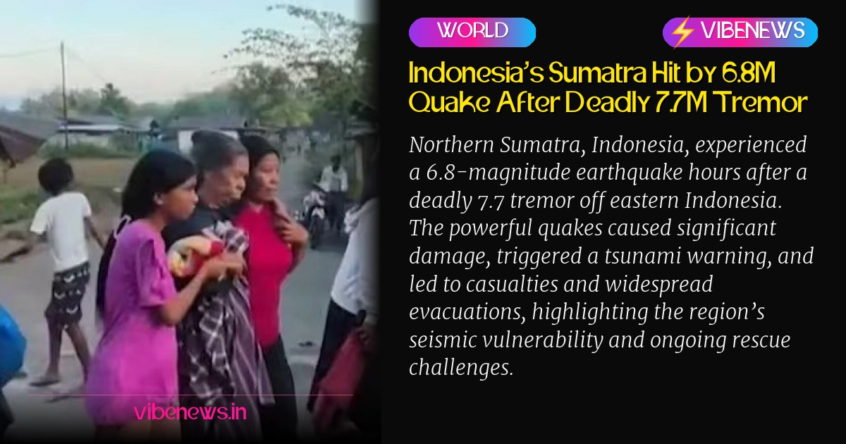
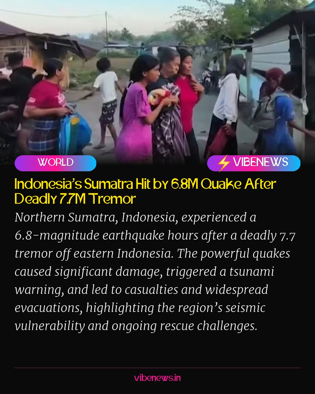
- A 6.8-magnitude earthquake struck Northern Sumatra, Indonesia, hours after a deadly 7.7-magnitude tremor off eastern Indonesia.
- The earlier 7.7M quake killed at least 38 people, triggered a tsunami warning (later lifted), and caused widespread damage including landslides and power outages.
- Approximately 2,000 residents were forced to evacuate, and rescue teams are searching for two villagers believed to be buried in a landslide.
- Indonesia’s location on the Pacific Ring of Fire makes it highly prone to frequent and powerful earthquakes due to converging tectonic plates.
- The recent 6.8M quake was attributed to plate subduction with an oblique normal fault mechanism and had no tsunami potential.
- The affected region has a history of significant seismic activity, including a magnitude 7.5 earthquake in 1992.
Northern Sumatra, Indonesia, was struck by a significant 6.8-magnitude earthquake on Saturday, according to the German Research Centre for Geosciences (GFZ). This tremor, originating at a depth of 175 kilometers, occurred just hours after a more powerful and deadly 7.7-magnitude quake had rocked eastern Indonesia.
The earlier 7.7-magnitude earthquake, which struck at a shallow depth of 15 kilometers, unleashed a cascade of destruction. It claimed the lives of at least 38 people and triggered dozens of aftershocks, prompting a tsunami warning that was eventually lifted approximately three hours later.
A Region Under Tremendous Strain
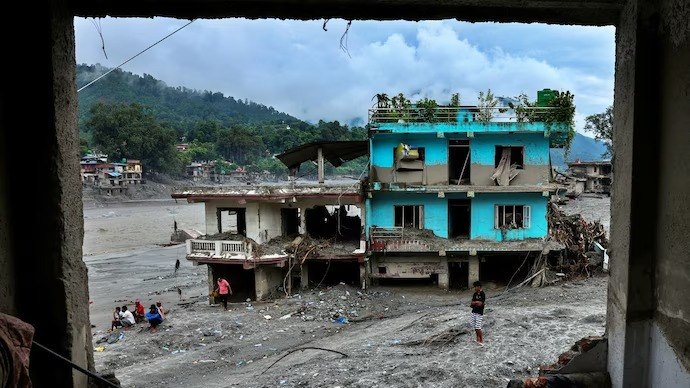
Indonesia’s Meteorology, Climatology and Geophysical Agency (BMKG) confirmed that tsunami waves, measuring less than one meter, were recorded in several coastal areas following the initial powerful tremor. The impact extended beyond the immediate coastline, causing widespread landslides, significant power outages, and severe disruptions to communication networks across the affected regions.
Rescue teams faced immense challenges in reaching some of the worst-hit areas, with crucial roads blocked by debris and rubble. The scale of the disaster necessitated immediate action, leading to the evacuation of approximately 2,000 residents who sought refuge in temporary shelters, as reported by Indonesia’s National Disaster Management Agency.
Amidst the chaos, search operations were launched for two villagers believed to be buried under a landslide triggered by the earthquake. Social media platforms quickly became a conduit for harrowing visuals, showing collapsed buildings, plumes of dust, and residents fleeing their homes in panic as the ground violently shook.
Eyewitness accounts painted a vivid picture of the terror. Nona, a 51-year-old resident of Talibura, recounted her experience to Reuters, stating, "The quake was massive. The shaking was so strong. We were at home with our family." She added, "There were 13 of us inside the house, and we all ran to save ourselves," highlighting the sudden and overwhelming nature of the event.
Indonesia’s Seismic Reality
The BMKG later clarified that the more recent 6.8-magnitude earthquake was a result of plate subduction, characterized by an oblique normal fault mechanism. Crucially, the agency assessed that this particular tremor carried no tsunami potential, offering a measure of relief to coastal communities already on edge.
The tremors from the latest quake were felt as far afield as West Sumatra and Padang, underscoring the vast geographical reach of these seismic events. This region of Indonesia has a history of significant seismic activity; authorities noted that the affected area was previously devastated by a magnitude 7.5 earthquake in 1992.
Indonesia’s geographical location is a primary factor in its vulnerability to such natural disasters. The archipelago nation sits squarely along the Pacific Ring of Fire, a horseshoe-shaped belt known as one of the world’s most seismically active regions. Here, several major tectonic plates converge and constantly interact, making the country highly prone to frequent earthquakes and volcanic eruptions.
Ongoing Rescue and Recovery Efforts
As rescue teams continue their arduous work, the focus remains on locating the missing and providing aid to those displaced. The logistical challenges are immense, with damaged infrastructure impeding access to remote areas. International monitoring agencies, such as Australia’s Tsunami Warning Centre, quickly assessed the situation, confirming that the undersea earthquake posed no tsunami threat to the Australian mainland or its islands and territories, allowing them to focus on regional support.
The dual impact of these powerful earthquakes within hours of each other has stretched local resources and tested the resilience of communities. The immediate priority is humanitarian aid, medical assistance, and ensuring the safety of all residents, particularly in areas where communication and power remain disrupted.
Editorial Context: A Persistent Challenge
The recent seismic events in Indonesia serve as a stark reminder of the nation’s perpetual battle against the forces of nature. Situated on the volatile Pacific Ring of Fire, Indonesia is inherently susceptible to frequent and often devastating earthquakes and volcanic eruptions. This inherent geological vulnerability necessitates a continuous and robust investment in disaster preparedness, early warning systems, and resilient infrastructure.
Beyond the immediate humanitarian crisis, these events underscore the long-term challenges for governance and development in such a high-risk zone. Effective urban planning, stringent building codes, and public education on earthquake safety are not merely recommendations but existential imperatives. The repeated cycle of destruction and rebuilding places immense strain on the national economy and diverts resources that could otherwise be allocated to other developmental goals.
Furthermore, the increasing frequency and intensity of extreme weather events globally, potentially exacerbated by climate change, add another layer of complexity to disaster management. While earthquakes are not directly linked to climate change, the secondary impacts like landslides can be worsened by environmental degradation. For Indonesia, fostering international cooperation for disaster relief and leveraging global expertise in seismic engineering and emergency response will remain critical in mitigating the human and economic toll of these inevitable natural phenomena.