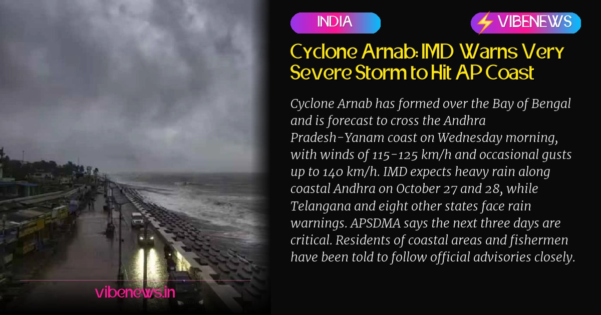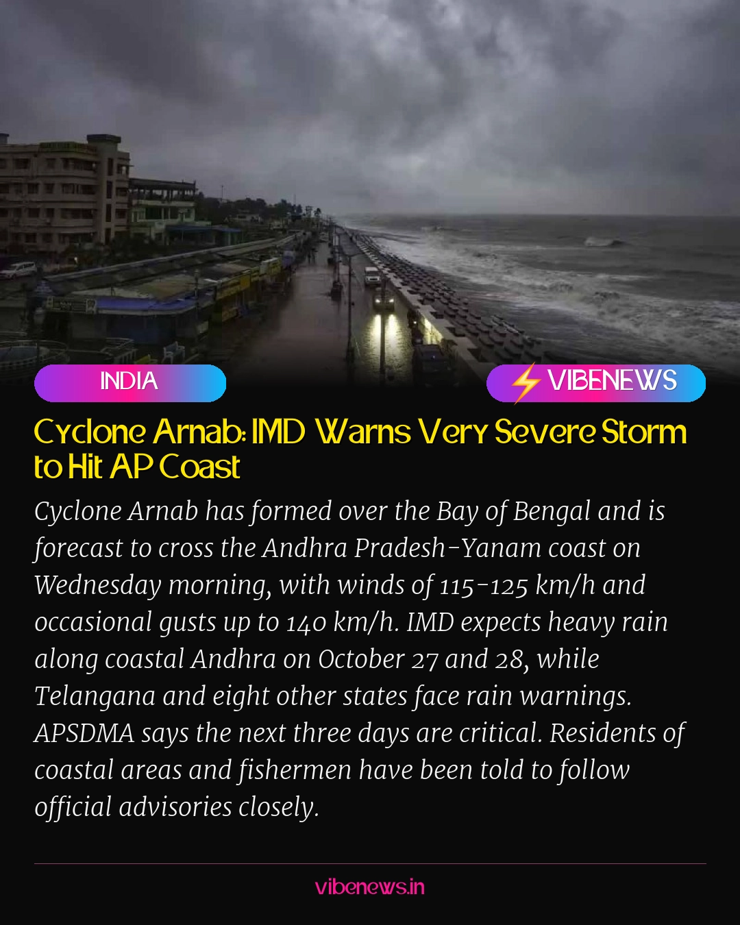

A low-pressure system over the Bay of Bengal has rapidly strengthened into Cyclone Arnab, and the India Meteorological Department (IMD) says it is expected to cross the Andhra Pradesh coast on Wednesday morning, between Bapatla and Visakhapatnam near the Andhra Pradesh-Yanam border. Coastal residents are being told to prepare now, not later.
As of the IMD’s update on October 26, 2026, the storm was centred about 650 km southeast of Visakhapatnam, 730 km from Kakinada, 830 km from Machilipatnam and 910 km from Bapatla. It is moving at roughly 15 km/h in a west-northwesterly direction and is likely to grow stronger before it reaches land.
The Clock Is Running Down
Forecasters expect Arnab to become a severe cyclonic storm by Tuesday and then a very severe cyclonic storm. That leaves very little room for error. Wednesday morning is the projected landfall window, and at the time of crossing the coast, winds are expected to blow at 115 to 125 km/h. At times, the wind speed could reach 140 km/h.
Those numbers are not abstract for the people living along the shoreline. Winds at that strength can bring down trees, damage weak structures and make travel dangerous. The IMD’s warning gives the coastal population a short window to secure homes, boats and livelihoods before conditions turn.
Coastal Andhra Braces for Wind and Lightning
Strong winds are expected along the coast, and the storm will bring thunderstorms with lightning. Authorities have made it clear that fishermen and people living in coastal areas must follow the weather department’s instructions without exception.
The message from officials has been consistent. Stay indoors when conditions worsen, avoid unnecessary movement near the sea and keep track of official updates. The storm is still building, and officials want people to act on the forecast rather than wait for the wind to arrive.
Heavy Rain Hits Coastal Andhra and Yanam First
Heavy to very heavy rain is forecast for coastal Andhra Pradesh and the Yanam region on October 27 and 28. The IMD has also said that extremely heavy rain may fall in some places. The rain is expected to continue on October 29, keeping pressure on drainage systems and low-lying areas that are already exposed.
Isolated thunderstorms with lightning are likely in coastal Andhra, Yanam and Rayalaseema. That means the threat is not confined to the immediate coastline. Rainfall will be spread across a wider region, and the IMD’s forecast suggests the impact will be felt for several days.
Telangana and Eight Other States Under Rain Watch
The storm’s reach extends well beyond the Andhra coast. Telangana is among nine states that have received rain forecasts linked to the system. Even after Arnab crosses the coast, its impact is expected to linger for some time.
Once the storm moves inland, it is expected to weaken but continue moving north-northeast, bringing rain to large areas. From Wednesday, for three to four days, heavy to very heavy rain is likely across Telangana, Odisha, Chhattisgarh, Jharkhand, Bihar, West Bengal, Vidarbha, east Madhya Pradesh and east Uttar Pradesh. Some places may record extremely heavy rainfall. For Telangana, that means the weather impact of a coastal storm hundreds of kilometres away could arrive on its own timetable and last longer than the cyclone itself.
Three Days That Matter Most
Andhra Pradesh State Disaster Response and Mitigation Authority (APSDMA) managing director Prakhar Jain has issued a direct warning to the public. He said the next three days require maximum caution and asked people not to treat the threat casually as the system grows stronger.
The next three days are critical. People must stay alert and must not be careless as the cyclone grows stronger.
His warning focused on people living in coastal areas. He asked them to stay alert, follow the instructions of officials and take every necessary precaution. In a storm with this trajectory, the difference between a safe night and a dangerous one often comes down to decisions made before the first gust hits.
What Happens After Landfall
The danger does not end the moment Arnab touches land. Forecasters expect the system to weaken after entering the mainland, but its rain-bearing capacity could still affect wide areas as it moves north-northeast. That is why the warning reaches far beyond the coastline.
For residents across the affected states, the message is the same: track the official forecasts, keep emergency supplies ready and avoid complacency. The storm has already moved from a weather bulletin to a public safety emergency in the coastal districts, and the coming days will test how quickly people respond to official instructions.
TL;DR
- Cyclone Arnab is forecast to cross the Andhra Pradesh-Yanam coast on Wednesday morning, between Bapatla and Visakhapatnam.
- Winds of 115 to 125 km/h are expected at landfall, with occasional gusts reaching 140 km/h.
- IMD expects heavy to very heavy rain in coastal Andhra and Yanam on October 27 and 28, with extremely heavy rain possible in places.
- Telangana is among nine states under a rain forecast, with heavy to very heavy rain likely for three to four days from Wednesday.
- APSDMA managing director Prakhar Jain says the next three days are critical and people must not be careless.
- Fishermen and coastal residents have been urged to follow weather department instructions closely.