India’s southwest monsoon has made a dramatic and welcome comeback, recording an 11% rainfall surplus across the country in the first week of July 2026, a significant turnaround after a weak start to the season. This crucial revival, driven by multiple active weather systems, is set to provide a much-needed boost for Kharif crop sowing and replenish vital reservoir levels nationwide.
This significant turnaround is particularly crucial for agriculturally dominant states like Telangana and Andhra Pradesh, where the health of the monsoon directly dictates the success of the upcoming Kharif crop season and replenishes vital irrigation reservoirs, impacting millions of livelihoods and the regional economy.
Monsoon’s Dramatic Turnaround: Key Data
Fresh data released by the India Meteorological Department (IMD) confirms the monsoon’s resurgence. Between July 1 and July 6, 2026, India received 53.3 mm of rainfall, significantly exceeding the normal average of 48 mm for this period. This represents an 11% surplus, marking a swift recovery from June’s performance, which was one of the weakest in decades.
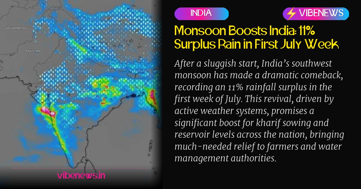
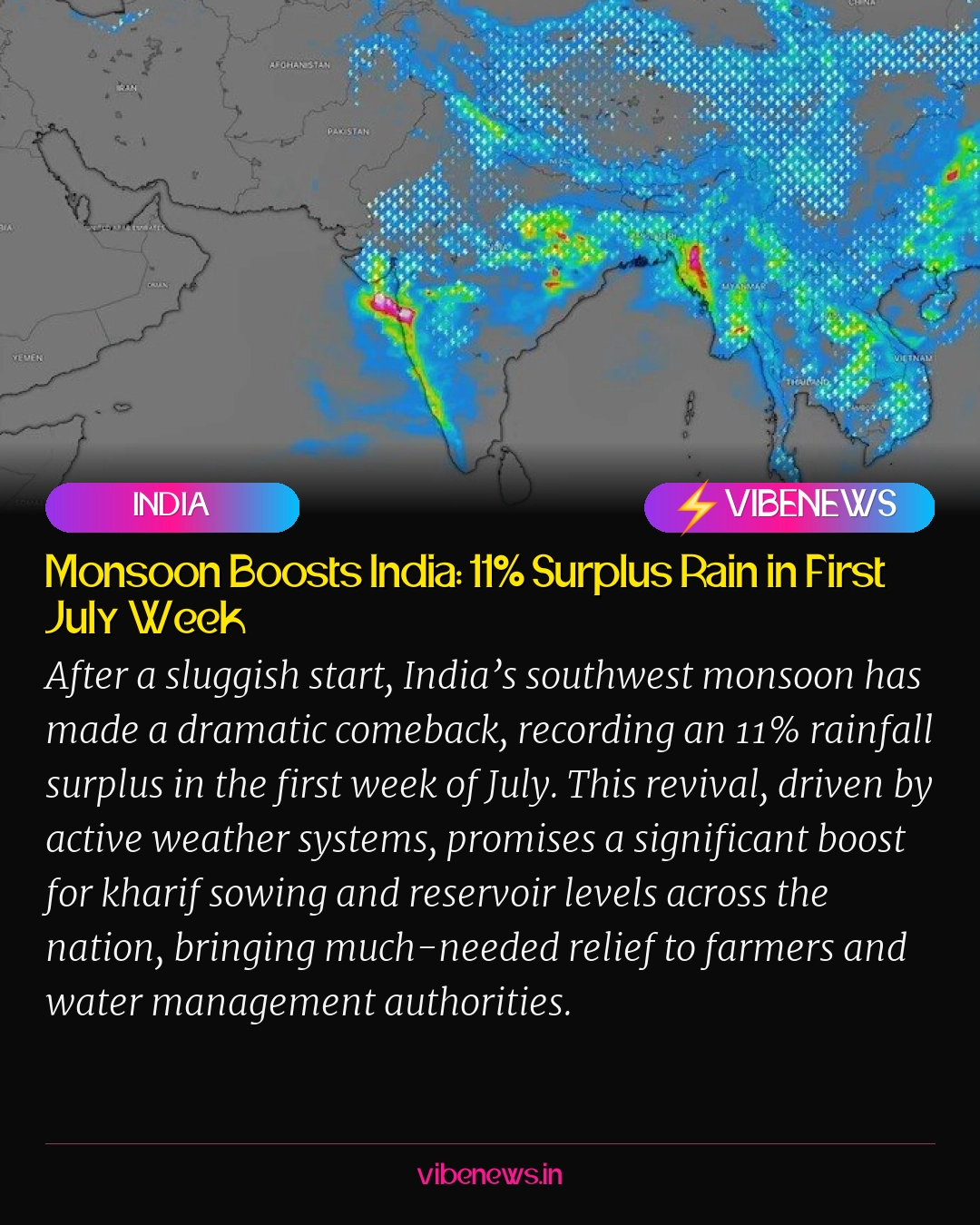
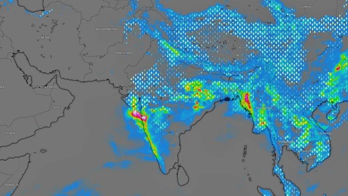
Satellite imagery from ISRO’s INSAT-3DS vividly illustrates this change, showing dense cloud bands now blanketing almost the entire country. This widespread cloud cover indicates robust monsoon activity from the Arabian Sea across to the Bay of Bengal and extending to the Himalayan foothills.
Driving Forces Behind the Revival
Meteorologists attribute this active spell to the simultaneous influence of several powerful weather systems. These include a well-defined Monsoon Trough, a Monsoon Trough Cyclone (MTC) positioned over western India, and a developing depression over the Bay of Bengal. The combined effect of these systems has effectively revived the monsoon’s momentum.
The interaction of these systems is creating widespread moisture convergence and upward air movement, leading to sustained and heavy rainfall across various regions. This complex interplay of atmospheric conditions is typical of a vigorous monsoon phase.
Regional Impact and Forecasts
The IMD has issued warnings for very heavy rainfall over Odisha, Chhattisgarh, and eastern Madhya Pradesh in the next 36 to 48 hours. This is primarily due to the Bay of Bengal depression moving inland, which is expected to dump substantial amounts of rain across eastern and central India.
Such intense rainfall increases the risk of waterlogging, flash floods, and overflowing rivers in vulnerable districts. Residents in these areas are advised to remain vigilant and take necessary precautions.
Heavy Rains for Western India and Mumbai
Mumbai, which has already experienced days of relentless rain, is forecast to receive light to moderate showers initially, with intensity expected to increase significantly later in the day. Moisture streaming in from the Arabian Sea, coupled with the active monsoon circulation over western India, is likely to trigger another round of heavy showers across the city and the Konkan coast.
The western half of the country, including Gujarat and Maharashtra, continues to receive widespread rainfall under the influence of the Monsoon Trough Cyclone. Meanwhile, northern India is also experiencing rain due to the active monsoon trough stretching across the Indo-Gangetic plains.
Rainfall Deficits Persist in Some Areas
Despite the overall surplus, some regions still face rainfall deficits. Parts of Uttar Pradesh, West Bengal, Bihar, and sections of the Northeast continue to show lower-than-normal rainfall. However, forecasters anticipate that these gaps will narrow if the current active monsoon phase persists over the coming days.
The latest rainfall map highlights the dramatic turnaround, with states like Gujarat, Maharashtra, Odisha, Chhattisgarh, Madhya Pradesh, and the Andaman and Nicobar Islands all recording excess to large excess rainfall during the past week.
Why This Matters for Telangana and Andhra Pradesh
While the immediate heavy rainfall warnings are for other states, the national monsoon revival is a critical development for Telangana and Andhra Pradesh. Both states are heavily reliant on monsoon rains for their agricultural economies, particularly for the Kharif season, which includes staple crops like paddy, maize, and cotton.
A robust monsoon ensures adequate water for irrigation, recharges groundwater levels, and fills major reservoirs such as Nagarjuna Sagar, Srisailam, and Godavari basin projects. This directly impacts farmer incomes, food security, and the overall economic stability of the region. The national surplus signals a positive outlook for these states, even if their specific rainfall figures are yet to be fully assessed.
Implications for Agriculture and Water Security
With almost the entire country now covered by rain-bearing clouds, forecasters expect the southwest monsoon to remain vigorous in the coming days. This widespread rainfall is a significant boon for the agricultural sector, providing a much-needed boost to Kharif sowing activities.
The improved rainfall will also help in raising reservoir levels across the country, easing concerns over water security that arose from the delayed onset and weak performance of the monsoon through much of June. This positive trend is crucial for both immediate agricultural needs and long-term water management strategies.
Expert Outlook and Future Projections
Meteorological experts are optimistic about the monsoon’s trajectory. The current active phase is expected to continue, ensuring sustained rainfall over key agricultural belts. Continuous monitoring by the IMD will provide further updates on the monsoon’s progression and any potential shifts in weather patterns.
The revival underscores the dynamic nature of India’s monsoon system and its profound impact on the nation’s economy and environment. The positive start to July offers a hopeful outlook for the remainder of the monsoon season.
TL;DR
- India’s southwest monsoon recorded an 11% rainfall surplus in the first week of July 2026, a significant recovery from a weak June.
- The <strong>India Meteorological Department (IMD)</strong> reported 53.3 mm of rain against a normal of 48 mm between July 1-6.
- Multiple active weather systems, including a <strong>Monsoon Trough</strong> and a <strong>Bay of Bengal depression</strong>, are driving the widespread rainfall.
- This monsoon revival is crucial for boosting <strong>Kharif crop sowing</strong> and replenishing <strong>reservoir levels</strong> across India, particularly benefiting agriculturally dependent states like <strong>Telangana</strong> and <strong>Andhra Pradesh</strong>.
- Heavy rainfall is forecast for <strong>Odisha, Chhattisgarh, eastern Madhya Pradesh, Mumbai</strong>, and the <strong>Konkan coast</strong>, while some deficits persist in parts of Uttar Pradesh, West Bengal, and Bihar.
- The active monsoon phase is expected to continue, offering a positive outlook for the remainder of the season and national water security.