The India Meteorological Department has warned of extremely heavy rainfall in parts of Telangana on Wednesday, October 28, as a developing weather system over the Bay of Bengal pushes into the state. Residents in the affected districts need to prepare now, before the first heavy downpour arrives.
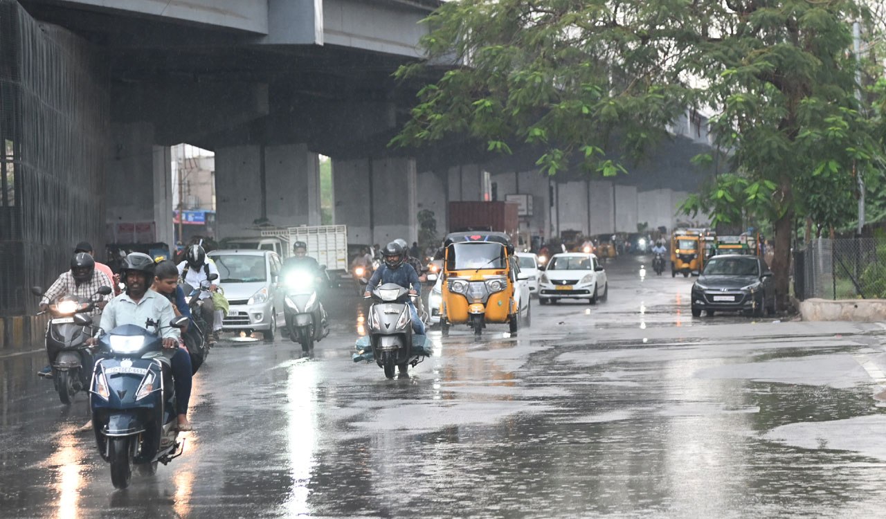
After a prolonged dry spell, Telangana is set to receive heavy rainfall, thunderstorms and gusty winds from Tuesday, October 27. The IMD’s Hyderabad office issued its forecast on Sunday, and it says rainfall activity will intensify across the state from Tuesday onward.
Red alert covers three districts
Mulugu, Bhadradri Kothagudem and Khammam are under a red alert. The IMD expects heavy to very heavy rainfall in these districts, with isolated extremely heavy downpours likely on October 28. Anyone living in low-lying or flood-prone areas of these three districts should treat the warning as urgent.
Orange alert widens the warning zone
An orange alert has been issued for several more districts, including Jayashankar Bhupalpally, Warangal, Hanumakonda, Mahabubabad and Suryapet. Heavy to very heavy rainfall is likely at isolated places in these areas. The forecast also says other districts may receive heavy rain, so residents outside the named zones should not assume they are safe.
Day-by-day breakdown of the spell
Tuesday, October 27: Heavy rain is likely at isolated places, with the system strengthening through the day.
Wednesday, October 28: The most dangerous day. Extremely heavy rainfall is forecast in isolated areas, with heavy to very heavy rain across the red alert districts.
Thursday, October 29: Heavy rain is likely at isolated places again, with thunderstorms and lightning expected in parts of the state.
Thunderstorms accompanied by lightning and gusty winds are also forecast across parts of Telangana. Those winds are a hazard in their own right, especially for people working outdoors, near trees, or in open fields.
Why the Andhra Pradesh coast is part of this story
The IMD notes that the same weather system is approaching the Andhra Pradesh coast. That link matters for Telangana because the system’s movement is what drives the rain forecast here. Officials are tracking one system, and its path will shape how the warning develops over the coming days.
The warning is not fixed. The IMD has made clear that rainfall warnings may be updated as the system develops. A forecast issued today can change by tomorrow, and the red and orange zones could expand or shift.
What residents should do now
The IMD’s advice to the public is direct. Residents, particularly those in eastern Telangana districts, should monitor official weather bulletins as the system develops.
Residents, particularly those in eastern Telangana districts, should monitor official weather bulletins as the system develops and rainfall warnings may be updated.
Practical steps are simple. Check the IMD bulletin before leaving home, keep phones charged, and avoid crossing flooded roads or waterlogged underpasses. Those in red alert districts should plan for disruption to travel and daily routines from Tuesday through Thursday.
The rain comes after a long dry stretch, which means the ground may not absorb sudden downpours quickly. That is the reason the warning carries weight. A dry spell followed by extremely heavy rain on October 28 leaves little time for preparation, and residents should use the next two days to get ready.
TL;DR
- Red alert for Mulugu, Bhadradri Kothagudem and Khammam as IMD warns of extremely heavy rain on October 28.
- Heavy rain, thunderstorms and gusty winds are expected across Telangana from Tuesday, October 27, after a prolonged dry spell.
- Orange alerts cover Warangal, Hanumakonda, Suryapet, Mahabubabad and Jayashankar Bhupalpally, among other districts.
- The warning is linked to a developing weather system over the Bay of Bengal that is approaching the Andhra Pradesh coast.
- The IMD says heavy rain and thunderstorms will continue on October 29, and warnings may be updated.
- Residents should monitor official IMD bulletins closely as the system develops.