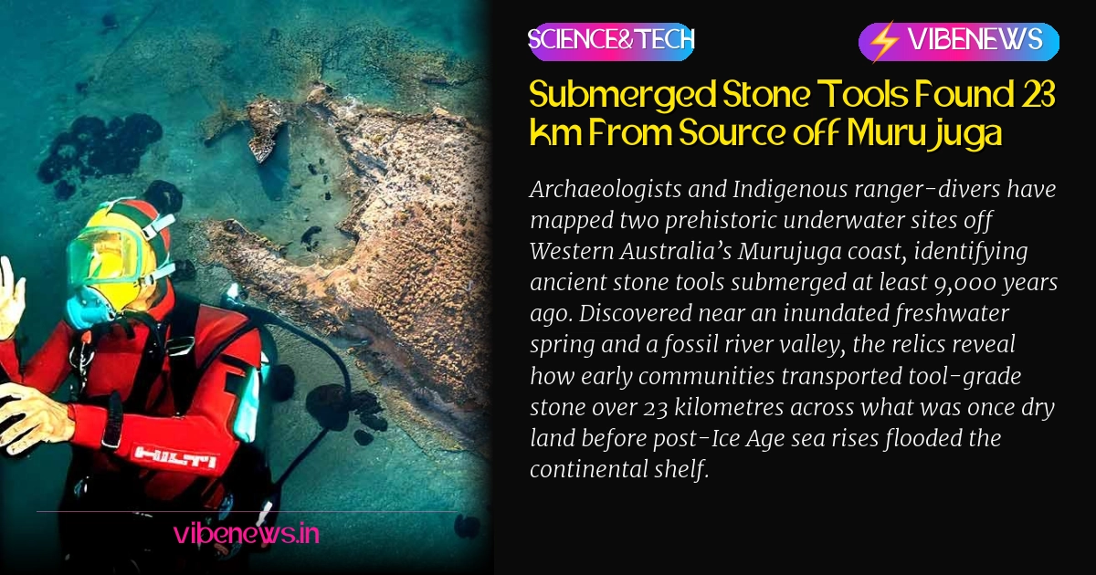
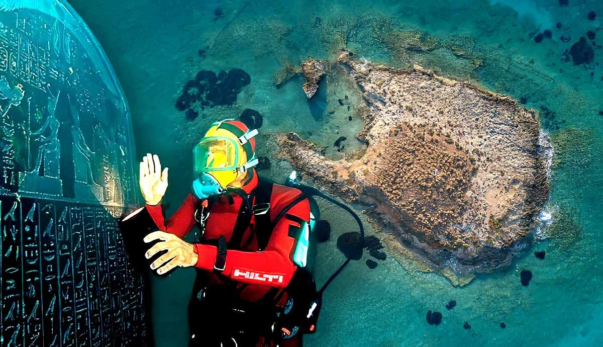
Archaeologists working alongside Indigenous rangers have documented two prehistoric terrestrial sites now submerged beneath the ocean off Murujuga in Western Australia, confirming human occupation of an ancient riverine landscape inundated at least 9,000 years ago. Detailed in a research paper published in Quaternary Science Reviews, the surveys recorded worked stone tools resting on the seabed near a drowned freshwater spring and an elevated rocky ridge overlooking a dry-land river channel that vanished following the termination of the last Ice Age.
Mapping an Inundated Prehistoric Terrain
The collaborative project brought together scientists from Flinders University, the University of Western Australia, James Cook University, and the University of York alongside the Murujuga Aboriginal Corporation. Central to the operation was the active diving and scientific documentation conducted by Indigenous rangers, including Malik Churnside and Richard Variakojis, who underwent training as scientific divers to map their ancestral cultural heritage directly on the seabed. Both rangers serve as co-authors on the resulting peer-reviewed paper.
Centuries before rising marine waters formed the contemporary geography of the Dampier Archipelago, the entire coastal plain was entirely contiguous dry terrain. During the post-glacial marine transgression, rising oceans swallowed more than two million square kilometres of Australia’s continental shelf. The physical evidence recorded by the team confirms that communities deliberately exploited the topography of this sunken world, choosing strategic vantage points and permanent water features that now sit silent under metres of seawater.
Toolstone Transported Across Vanished Valleys
Laboratory assessment of the recovered lithic material revealed that several stone implements were manufactured from specialized raw material sourced from Rosemary Island, situated roughly 23 kilometres away from the deposition sites. This geological displacement demonstrates that early inhabitants systematically selected high-quality toolstone and transported it across substantial distances on foot, traversing river valleys and plains that no longer exist today.
While stratigraphic inundation models show that the landscape was drowned by sea level rise around 9,000 years ago, researchers emphasize that the tools themselves could be significantly older. The flooding date provides only an absolute terminus ante quem—the latest point in time before which the terrestrial surface was permanently lost to the marine environment—leaving open the possibility of a much earlier cultural sequence.
Cultural Continuity Across Rising Tides
Beyond the material science of stone flakes and bathymetric mapping, the discovery highlights the survival of First Nations memory systems across profound geological transformations. For the Ngarda-Ngarli people, the Traditional Owners and Custodians of Murujuga, whose cultural territory is inscribed on the UNESCO World Heritage List across the Burrup Peninsula and Dampier Archipelago, the submerged features are not merely relics of deep time but living ancestral nodes.
The submerged spring remains connected to traditional songlines.
The freshwater spring, in particular, represented both a critical survival resource and an enduring social hub before marine transgression engulfed it. The identification of songline affiliations anchored to a drowned spring reinforces how oral traditions track dramatic environmental shifts, preserving geographic memory through millennia of rising tides.
The Vast Frontier of Australia’s Continental Shelf
Archaeologists consider the submerged shelf of the Australian continent one of the richest yet least explored frontiers in world archaeology. Because the vast expanse of inundated territory was repeatedly occupied during low sea-level stands throughout the Pleistocene, millions of artefacts, camp locations, and sacred sites remain sealed beneath coastal waters. The successful documentation at Murujuga establishes a methodological blueprint, proving that combining marine geophysical methods with Indigenous ecological knowledge can locate intact archaeological deposits across vast submerged continental margins.
TL;DR
- Archaeologists and Indigenous rangers documented two submerged ancient sites off Murujuga, Western Australia.
- Stone artefacts were identified near a flooded freshwater spring and a fossil river channel.
- The surrounding coastal terrain was permanently inundated by rising seas at least 9,000 years ago.
- Geological analysis revealed tools made from stone transported 23 kilometres from Rosemary Island.
- Rangers Malik Churnside and Richard Variakojis co-authored the study published in Quaternary Science Reviews.